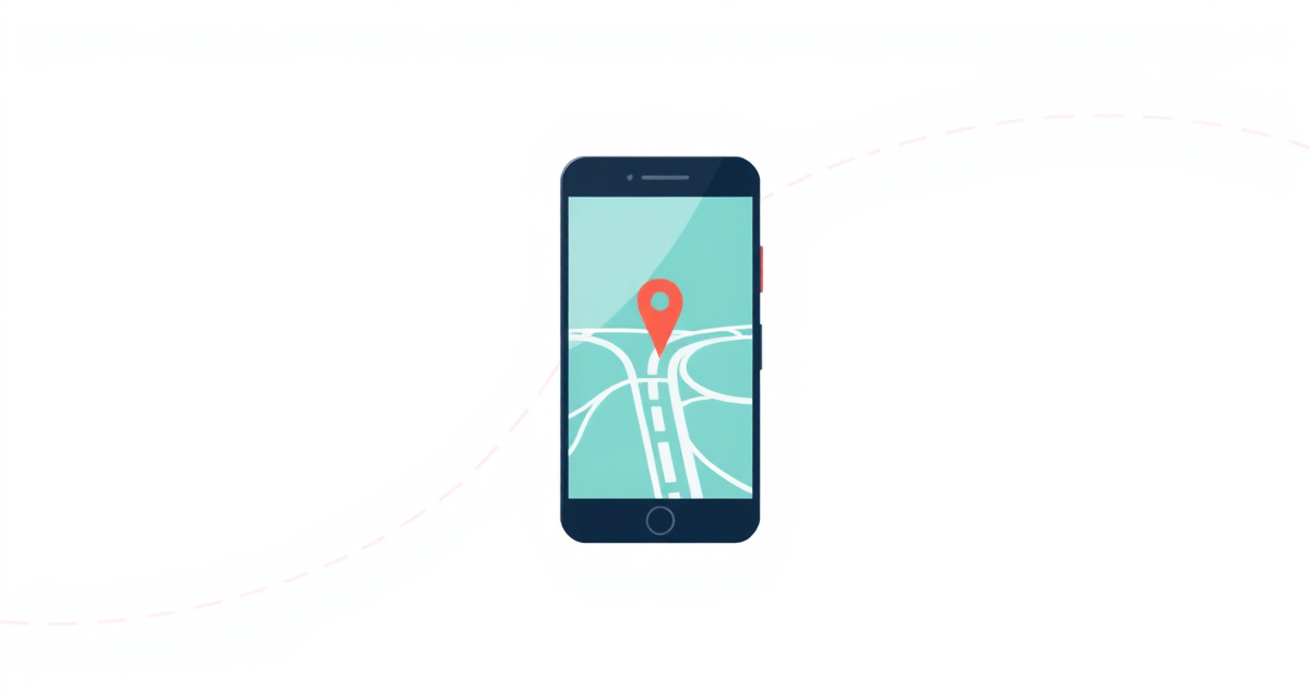
How to use Google Maps to get directions and navigate
Learn how to use Google Maps on your phone to search for places, get step-by-step directions, and navigate while driving or walking.
What you will learn
In this guide, you will learn how to use Google Maps on your phone to find places, get directions, and follow turn-by-turn navigation to your destination. This works for driving, walking, cycling, and public transport.
What you need
- Your phone (iPhone or Android)
- Google Maps app installed (free from the App Store or Google Play)
- An internet connection
- Location services turned on
The steps
Step 1: Open Google Maps
Find the Google Maps app on your phone and tap it. It has a colorful map pin icon. If you do not have it installed, download it for free from the App Store (iPhone) or Google Play Store (Android).
Step 2: Search for a place
Tap the search bar at the top of the screen. Type the name of the place you want to go, such as a restaurant name, an address, or a city. Tap a result from the list that appears. The map will show the location with a red pin.
Step 3: Tap Directions
Once you see the place on the map, tap the blue Directions button at the bottom of the screen. Google Maps will calculate the best route from your current location to the destination.
Step 4: Choose how you want to travel
At the top of the screen, you will see icons for different travel methods. Tap the car icon for driving, the person icon for walking, the train icon for public transport, or the bicycle icon for cycling. The estimated travel time changes depending on which option you choose.
Step 5: Review the route
You will see the route drawn as a blue line on the map. The estimated time and distance appear at the bottom. If there are multiple route options, you can tap the gray lines on the map to choose a different route. Review the route to make sure it looks correct.
Step 6: Start navigation
Tap the blue Start button at the bottom of the screen. Your phone will begin giving you voice directions. Follow the instructions as they appear on the screen and are spoken out loud. The map rotates automatically to show the direction you are heading.
Step 7: Follow the directions until you arrive
Keep following the voice instructions. The screen shows your next turn, the street name, and how far away it is. When you are close to a turn, the voice will say something like “In 200 meters, turn right.” When you reach your destination, the voice will say “You have arrived at your destination.”
Tips
- Mount your phone on the dashboard or windshield if you are driving so you can see the map without looking down.
- If you miss a turn, do not worry. Google Maps will automatically recalculate a new route.
- Download the map of your area for offline use before traveling to a place with poor internet coverage.
- You can adjust the voice volume by tapping the speaker icon during navigation.
Useful links
facil.guide
Scan to read online
Frequently asked questions
Does Google Maps work without internet?
Google Maps needs internet to search and calculate routes. However, you can download maps for offline use before you travel. Tap your profile picture, then Offline maps, then Select your own map.
Does Google Maps use a lot of mobile data?
Navigation uses a moderate amount of data, roughly 5 to 10 megabytes per hour. Download offline maps on Wi-Fi before long trips to save data.
Can I use Google Maps for public transport?
Yes. When you search for directions, tap the train icon to see public transport options including buses, trains, and metro with schedules and walking directions to stops.
How do I stop navigation?
Tap the screen to show the controls, then tap the X button or Exit in the bottom left corner. Navigation will stop and you will return to the normal map view.
Is Google Maps free?
Yes. Google Maps is completely free to download and use, including navigation, search, and offline maps.
Was this guide helpful?
Didn't find what you're looking for?
Tell us what guide you need and we will write it for you.